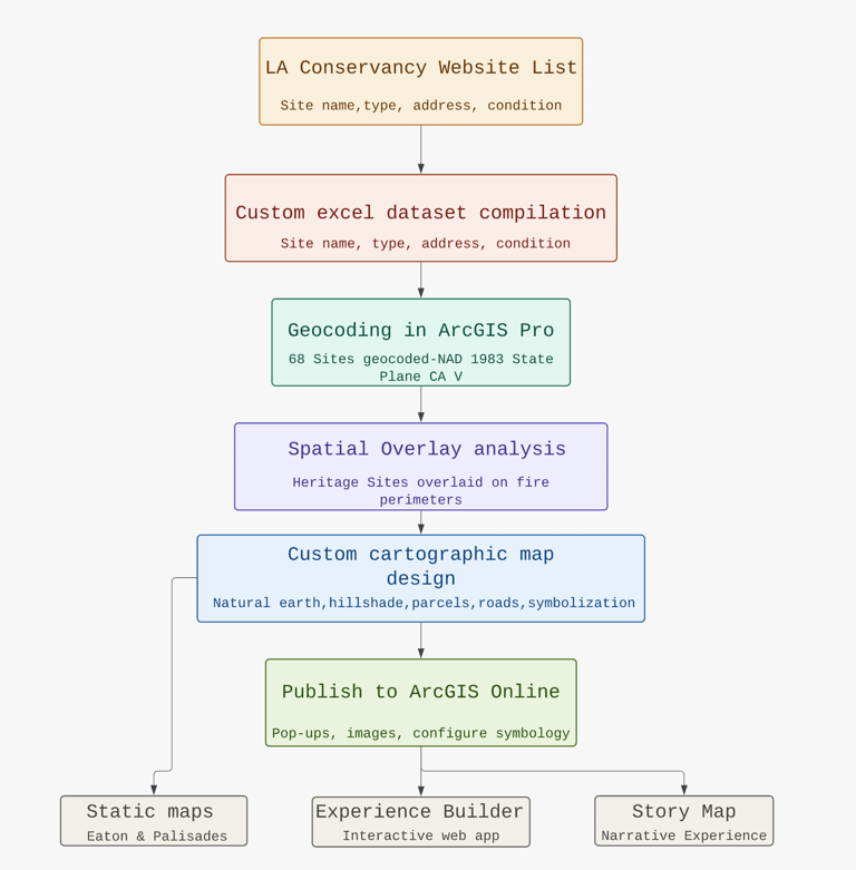
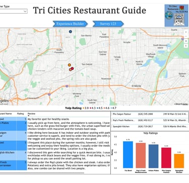
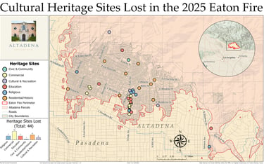
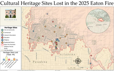
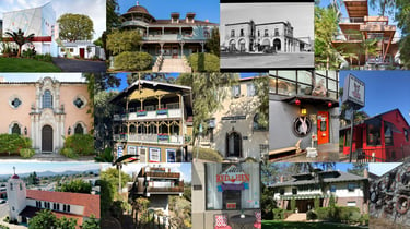
I compiled a dataset of 68 geocoded cultural heritage sites confirmed as lost or damaged in the 2025 Palisades and Eaton fires. I created a spreadsheet and manually researched each site individually to verify its address, site type, condition, and historical significance. The spreadsheet included the following fields for each site: site name, site type, condition, corresponding fire (Palisades or Eaton), site address, city, an image linked to my cloudinary account, and notes and source links, some directing to websites with historical information about the site, and others to GoFundMe pages set up for affected community members. For the spatial analysis, I used CAL FIRE 2025 fire perimeter shapefiles for both the Eaton and Palisades fires, Los Angeles County parcel data, US Census Bureau TIGER/Line road networks, an ocean layer from TIGER/Line, the Los Angeles County boundary, and a USGS post-wildfire Digital Elevation Model to generate a hillshade terrain layer. I clipped the hillshade to the Eaton and Palisades fire perimeters to give the map spatial context. Sites were symbolized using unique values by site type across six categories: Commercial, Residential/Historic, Religious, Education, Cultural and Recreation, and Civic and Community.