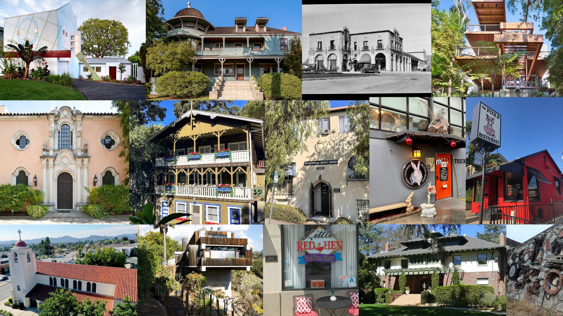
This project originated from a personal interest in mapping fire hazard vulnerability across Los Angeles County. While researching potential topics, I discovered the Los Angeles Conservancy's 2025 Fire Impact Mapping Initiative, which documents the cultural heritage sites destroyed by the Palisades and Eaton fires of January 2025. Reading through their findings, I was drawn to the stories behind each lost site — Craftsman homes built at the turn of the 20th century, historic libraries, legacy businesses, schools, churches, and architecturally significant landmarks that were irreplaceable parts of the region's cultural identity. I felt compelled to document and map these losses.